GIS Training
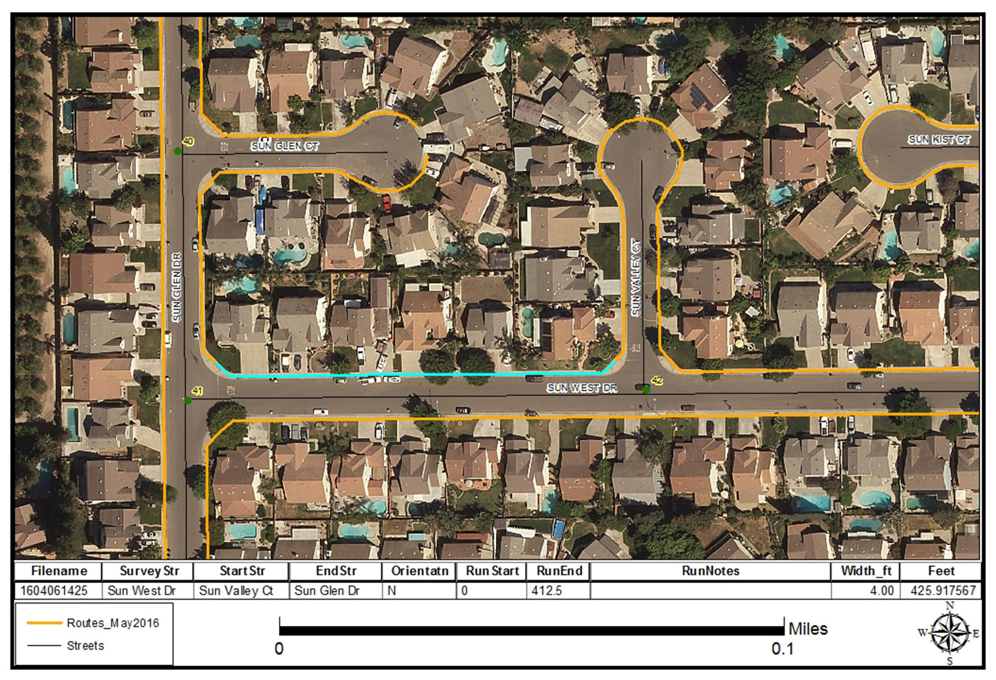
Training is provided in the use of GIS tools we have developed for implementing ADA access improvements in pedestrian rights-of-way. SSA conducts 2 levels of Training – one advanced training for technical staff to manage the geodatabase using GIS software and another one for non-technical users to become proficient in the web-based GIS viewer and its reporting capabilities. Instruction includes use of the barrier ranking tool and browser-based mapping interface. SSA provides adhoc map production, detailed documentation and metadata on each GIS feature created.


