GIS Overview
https://youtube.com/watch?v=BnsM21–2EA
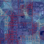
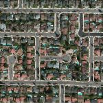
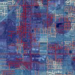
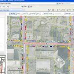
SSA works with clients to implement ADA access improvements using Geographic Information Systems (GIS) and surface profiling technology to capture data, revise compliance status when work is completed, and to help prioritize future projects. SSA uses surface profiling technology to inventory pedestrian features within the rights-of-way. The data captured can be continually updated with a priority ranking system allowing the most severe hazards to be addressed first. Project oversight is improved with a tailored work schedule and instant reports.

Introducing the New Profiler!
Submit your information below to receive free access to our Innovative Technologies for ADA Compliance Brochure: